Maps and Print
Maps people can read on the trail, and print that tells a story clearly.
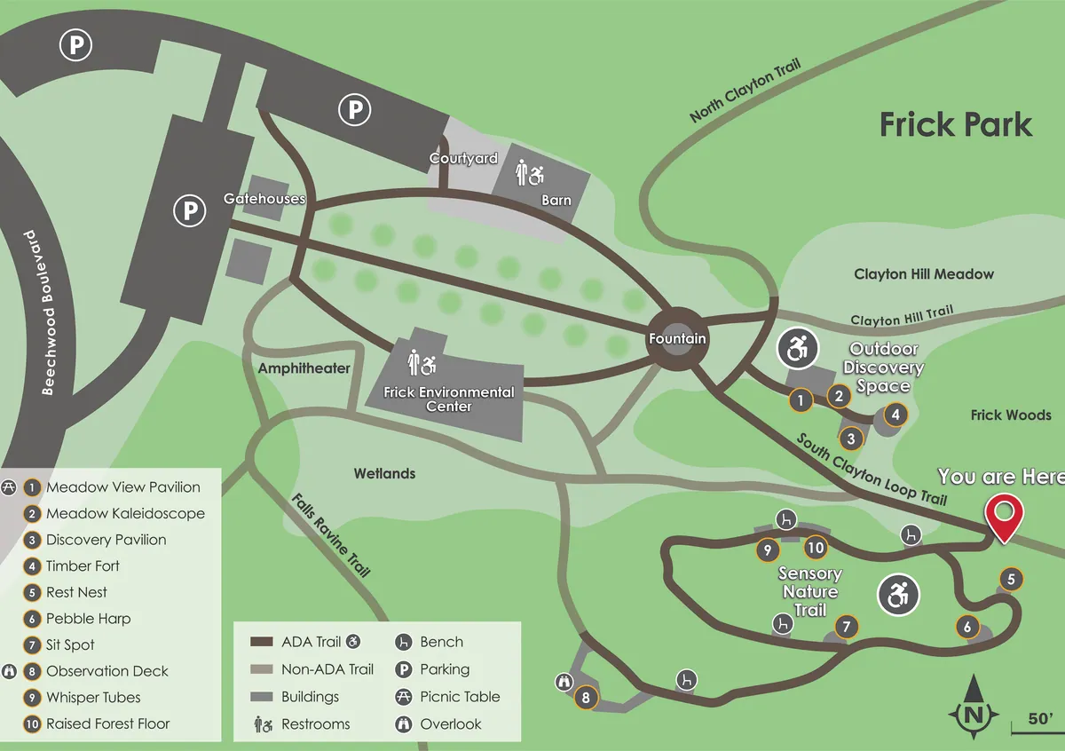
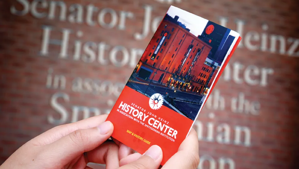
Kolano Design draws maps for places people explore on foot. For the Pittsburgh Parks Conservancy, Kolano created maps of Frick, Highland, Riverview, Schenley and Emerald View parks and the Frick Environmental Center, updating the Frick Park map in 2025. Kolano also drew Duquesne University's campus map, used in print and digital wayfinding, and the Heinz History Center's floor-by-floor Map and Visitors Guide.
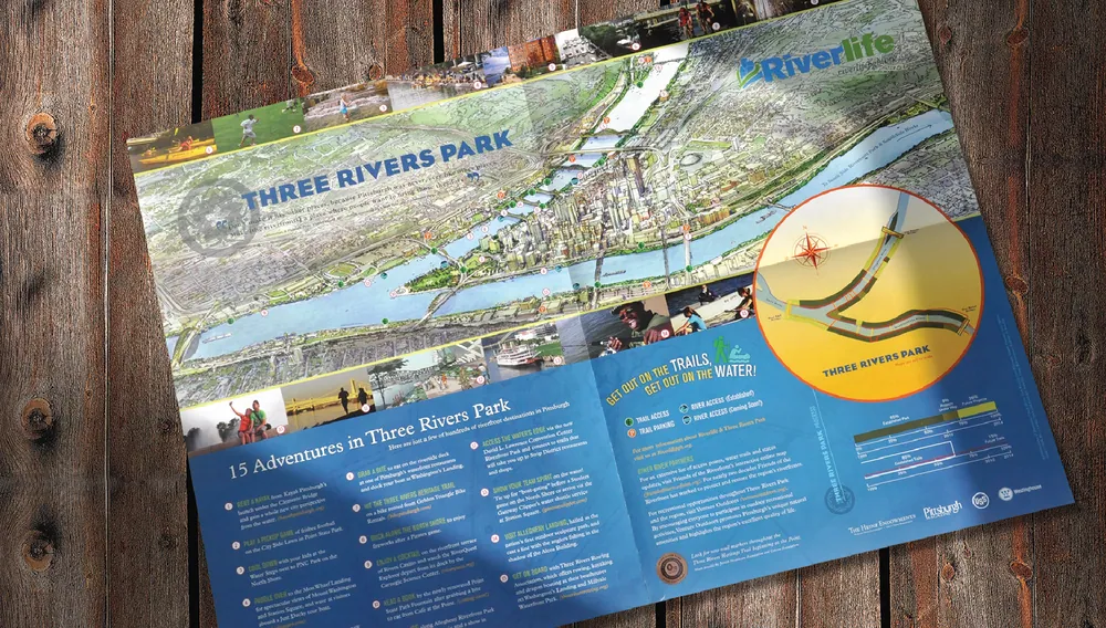
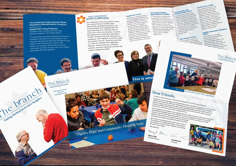
The same care goes into Kolano's print work: booklets, a brochure and print ads for Riverlife, a rebranded brochure and fundraising mailer for The Branch, trade ads for Amano Enzyme and a product catalog for Moxie. Because Kolano designs signage too, a map can share its look with the signs and directories around it.
- Base map drawn from site plans and floor plans
- Destinations, labels and legend
- Map style matched to the sign system
- Print layout: folded guides, brochures, booklets
- Print-ready files and digital versions
Selected Projects
Full portfolio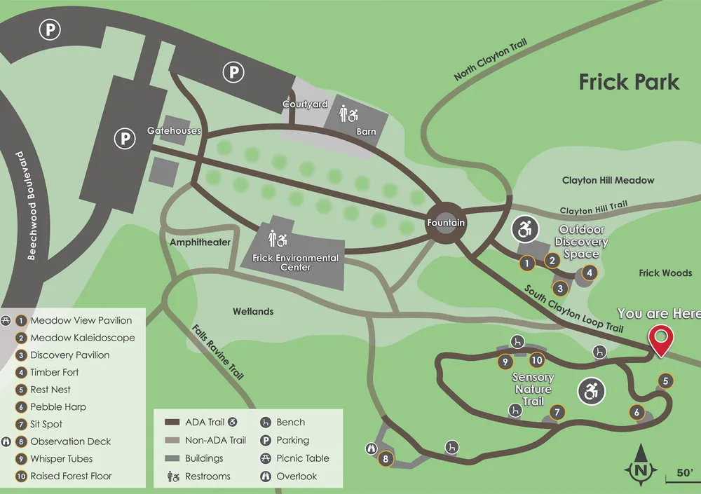


Common Questions
What makes a good park or campus map?
A good map leaves out what visitors do not need, uses names that match the signs on the ground, and makes the main routes and destinations easy to find. It should read at a glance on a trailhead panel and still work folded in a pocket.
Can one map work in print and on screen?
Yes, if it is drawn as a clean base map from the start, then adapted for each use. Kolano's Duquesne University campus map supports both printed and digital wayfinding.
What print work does Kolano design?
Brochures, booklets, mailers, catalogs, visitor guides, print ads and stationery. Recent examples include Riverlife's booklets and brochure, The Branch's brochure and appeal mailer, and Amano Enzyme's trade ads.
Talk to Us
6026 Centre Avenue, Pittsburgh, PA 15206